FortSight
Geo-Spatial Intelligence
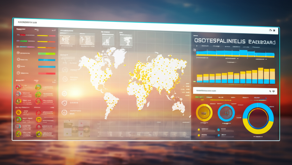
Comprehensive mapping and analysis tools that combine visual data with location intelligence.
Location-Aware Visual Intelligence
FortSight's Geo-Spatial Intelligence solutions combine advanced computer vision with location data to provide powerful spatial analysis and visualization capabilities for security and operational applications.
Key Features
- Integration of visual and location data
- Advanced spatial analysis and pattern detection
- Interactive 3D visualization and mapping
- Temporal analysis of spatial data
- Predictive modeling for spatial phenomena
Applications
- Urban security and public safety
- Border and perimeter monitoring
- Environmental monitoring and conservation
- Infrastructure planning and management
- Emergency response and disaster management
How It Works
Our Geo-Spatial Intelligence solution combines multiple technologies to provide comprehensive spatial analysis and visualization:
- 1Data Collection: The system integrates data from multiple sources, including satellite imagery, aerial photography, ground-based cameras, and IoT sensors with location data.
- 2Spatial Processing: Advanced algorithms process and analyze the data, identifying objects, patterns, and relationships in a spatial context.
- 33D Visualization: The system creates interactive 3D maps and visualizations that allow users to explore and understand complex spatial data.
- 4Pattern Recognition: AI algorithms identify patterns, anomalies, and trends in spatial data over time, providing insights for decision-making.
- 5Predictive Analytics: The system uses historical and real-time data to generate predictions and scenarios for future spatial conditions and events.